The Stakes
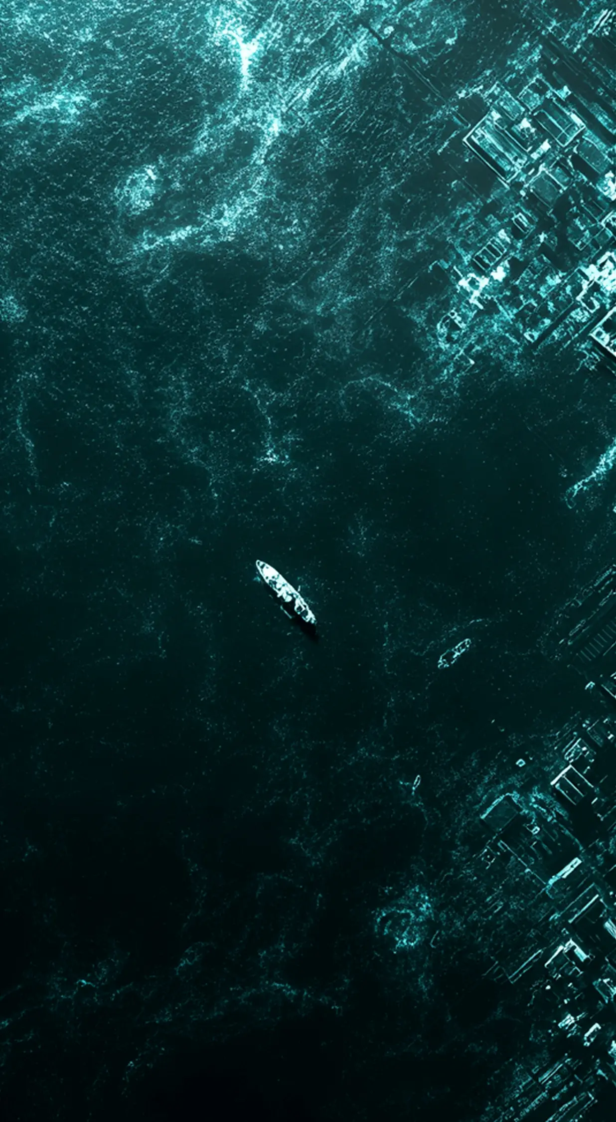
AIS can be disabled in seconds. Cloud cover defeats optical satellites for weeks. In the gap between those two systems, illegal fishing, maritime trafficking, and EEZ violations happen daily - undetected, unpunished, and at a cost that runs into billions of dollars every year. The gap isn't a policing problem. It's an infrastructure one.
Capabilities
Persistent situational awareness across every nautical mile of your EEZ.
All Weather Imaging
Synthetic aperture radar cuts through cloud, fog, and darkness for uninterrupted EEZ surveillance.
SAR+AIS Data Fusion
Every radar detection is cross-checked against AIS, instantly flagging vessels that go dark.
~1/10th the cost
Persistent, country-scale EEZ monitoring without the price tag of legacy satellites or patrol fleets.
~ 1m Resolution
Sharp enough to identify and classify a vessel, not just spot a blip on the radar.
30 mins. Revisit
Multiple SAR satellites working together for persistent, high-revisit coverage.
3840 x 50 Km. Coverage
Enough swath width to monitor your entire EEZ without gaps in coverage.
Blog
Tested in orbit. All mission objectives, cleared.
On 30th December 2024, our in-orbit tech demonstrator, Varuna, launched on PSLV-C60 and completed every primary mission objective from space. The data is in. The system works. Constellation deployment begins soon.
FAQ
Frequently Asked Questions
Patrol assets only cover a fraction of an EEZ at any moment, and optical satellites can't see through cloud or darkness. SAR images the whole area regardless of weather or time of day, and AIS fusion flags mismatches within minutes.
Let's Talk
Tell us about your operational requirements.
Other Use Cases